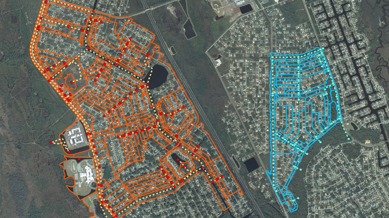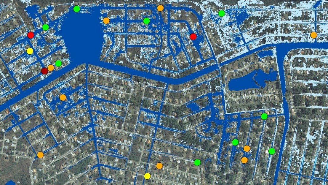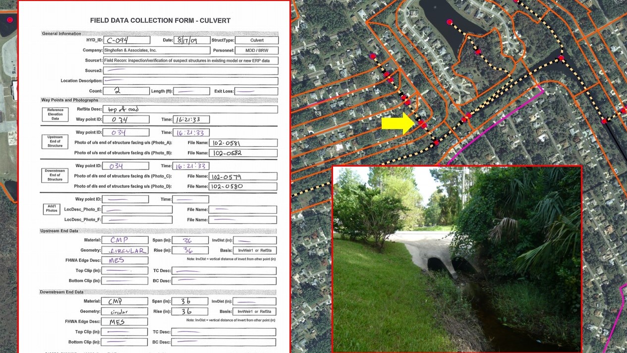


The City of Palm Coast is a coastal community with drainage largely controlled by a complex canal system and multiple control structures. The drainage system consists of 1,000 miles of swales, 150 miles of drainage ditches, 54 miles of freshwater canals, 26 miles of saltwater canals, and 19 major control structures. This project involved the development of a City-wide stormwater model, level of service evaluations, development of capital improvement designs, and a stormwater master plan for the City. Modeling and master planning has been conducted on a phased approach, Section by Section, based on priority areas. The intent of the project was to provide detailed stormwater model and infrastructure data to support operational, procedural, and informational needs of the City including development review, floodplain management, stormwater retrofit design, maintenance, and capital improvement projects to address flooding and/or water quality concerns. The resulting stormwater model, spatial data, and supporting information was incorporated into a stormwater infrastructure geodatabase and stormwater model geodatabase.
To date, six sections of the City have been completed. Each completed phase involved development of a detailed stormwater model using ICPR. GIS-based tools and other in-house tools were utilized to streamline model parameterization and improve reproducibility/defensibility of the models. Each phase has also included the development of recommended stormwater capital improvements and construction cost estimated.
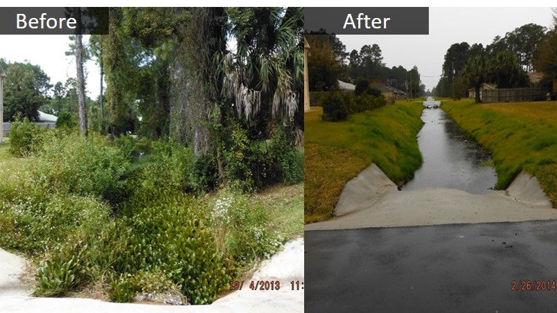
SAI has worked collaboratively with the City to implement four of the flood mitigation master plan improvements. Final design, model refinement, and permitting efforts were conducted by SAI. Construction plans were prepared by the City and peer-reviewed by SAI. Each of these permitted designs has been successfully constructed.