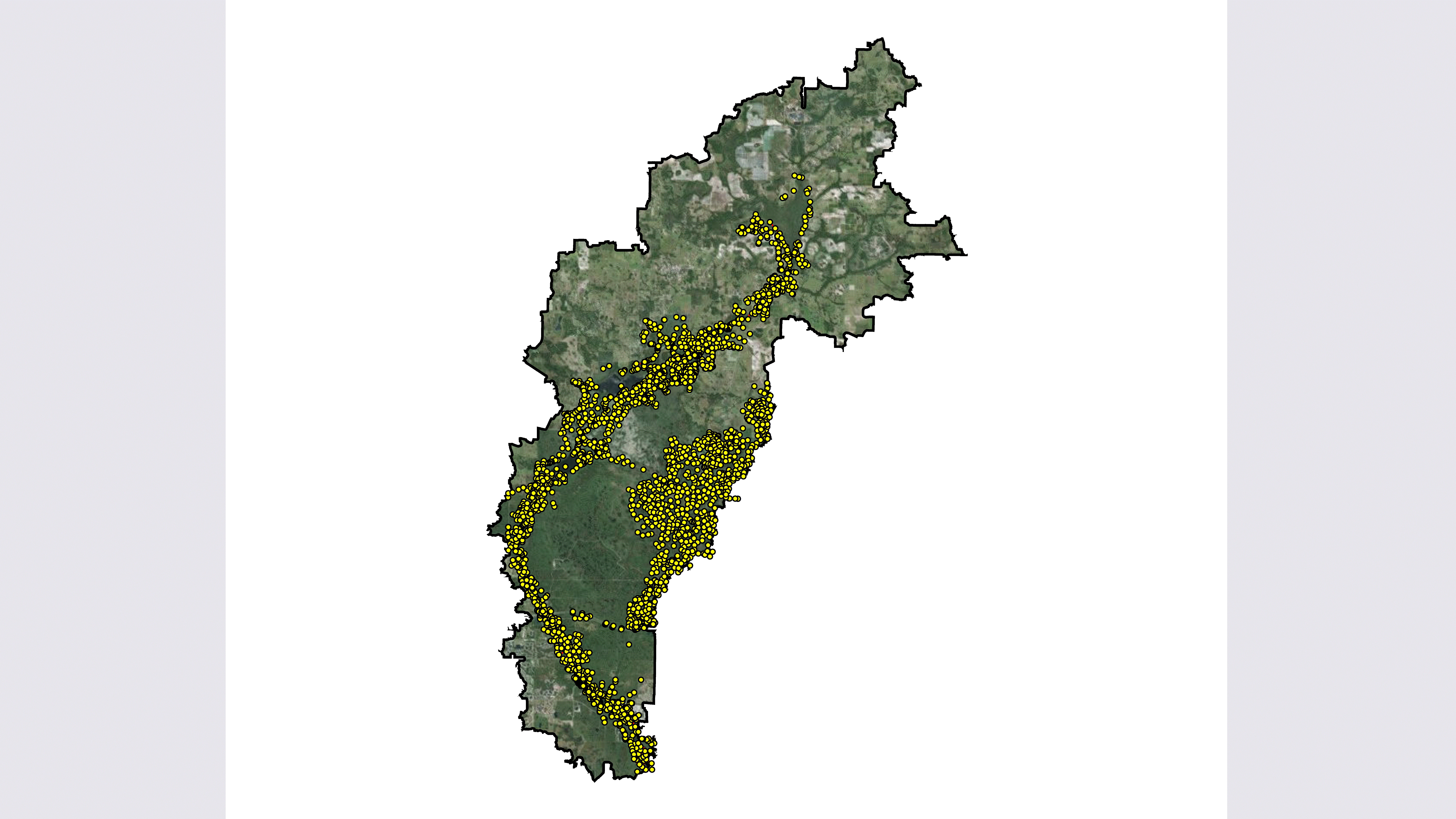
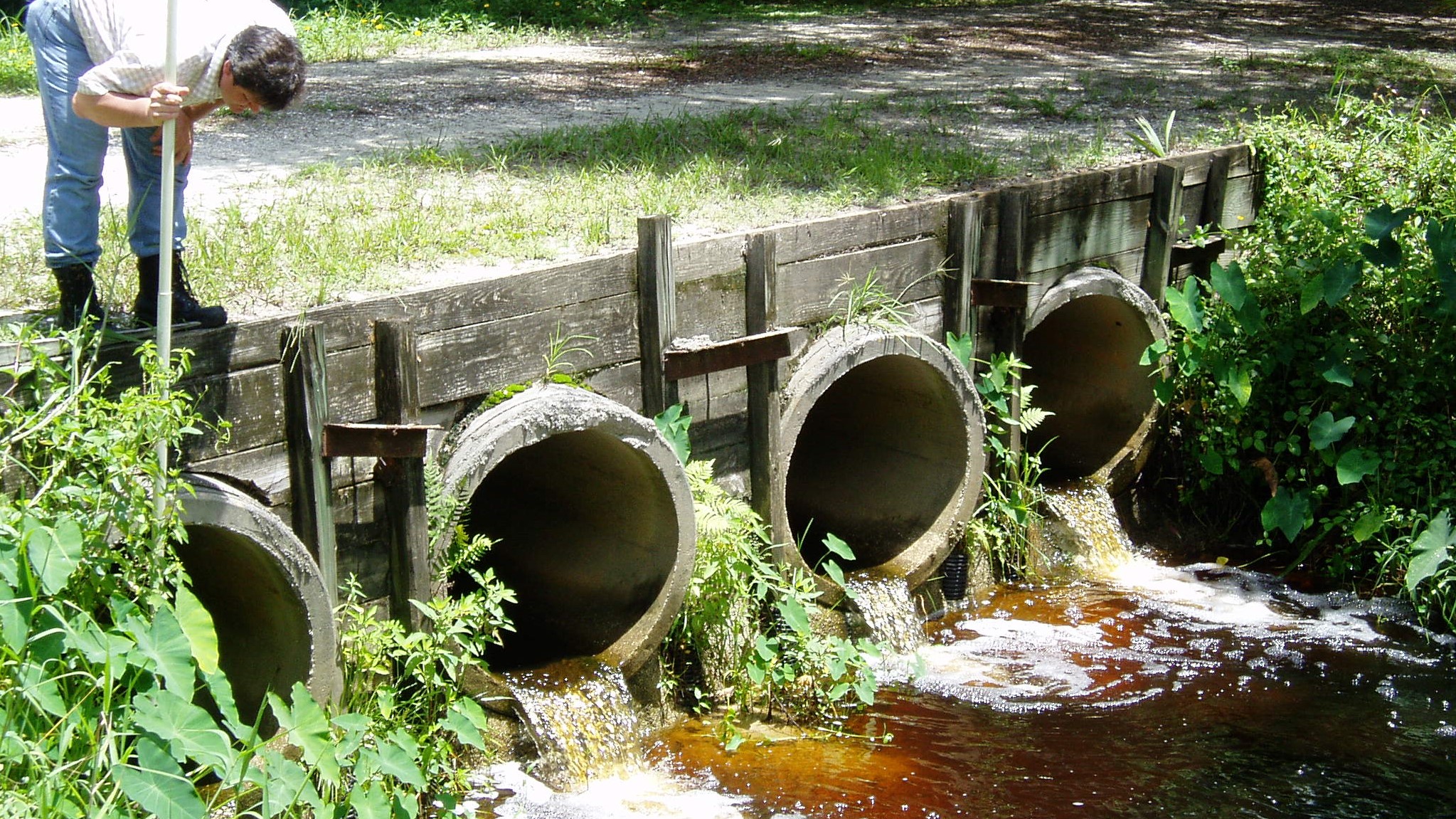
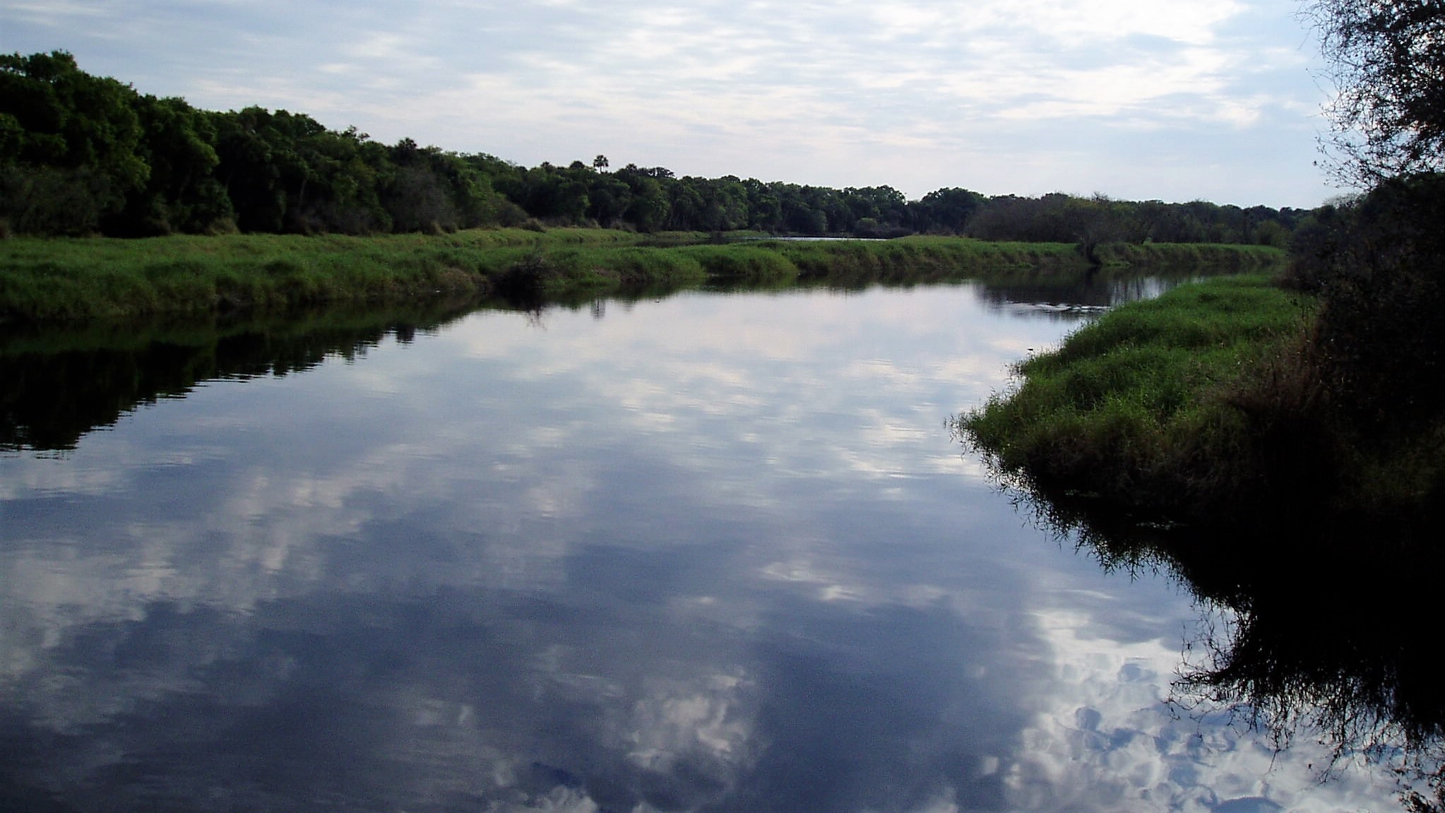


The Myakka River Watershed Initiative was a comprehensive study of a 360 sq. miles portion of the Myakka River Watershed which addressed natural systems, water supply, flood control, and water quality. SAI served as the project lead responsible for all aspects of the work conducted by the Project Team, which included multiple consulting firms of varying disciplines working in parallel to expedite the project schedule. SAI developed standardized methods for data collection and management, modeling, and surveying efforts. The SAI Team also facilitated stakeholder involvement for the project, which spanned five counties. The project involved the development of a series of surface water models, evaluation of water quality conditions, and development of conceptual design solutions for the restoration of the Flatford Swamp area within the watershed.
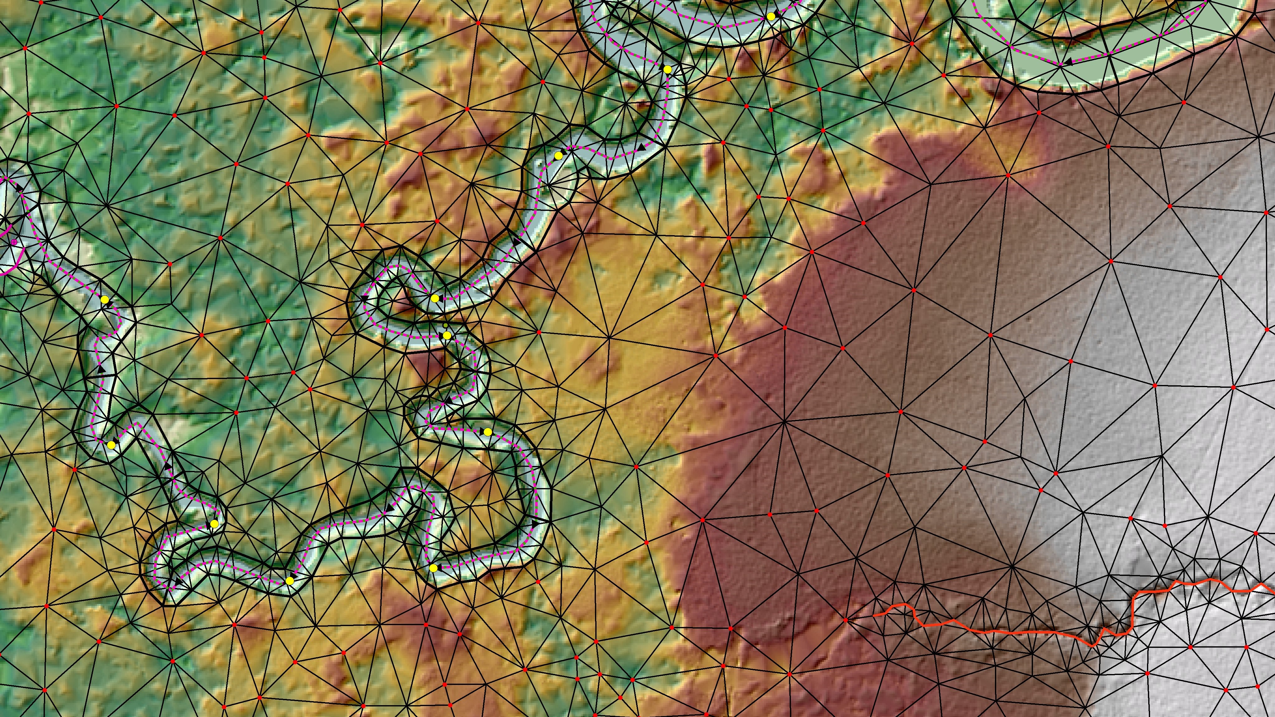
SAI was directly responsible for data collection and stormwater model development for sub-watersheds comprising the 60-mile main stem of the Myakka River, Deer Prairie Slough, and an undeveloped area east of the Lower Myakka River. In addition, SAI coordinated and reviewed the work of seven other subconsultants, two of which were responsible for simultaneously developing surface water models for six other sub-watersheds. Surface water modeling for the watershed was done using several modeling programs, including the state-of-the-art 2D model ICPR4. SAI combined the 11 individual watershed models into a single ICPR4 model to establish existing conditions for the Myakka River watershed. The resultant model is highly detailed with over 150,000 nodes and over 315,000 links. SAI also developed in-house GIS tools to facilitate the management of the massive volumes of data associated with the model. SAI refined and calibrated the model based on an actual 3-week storm event.
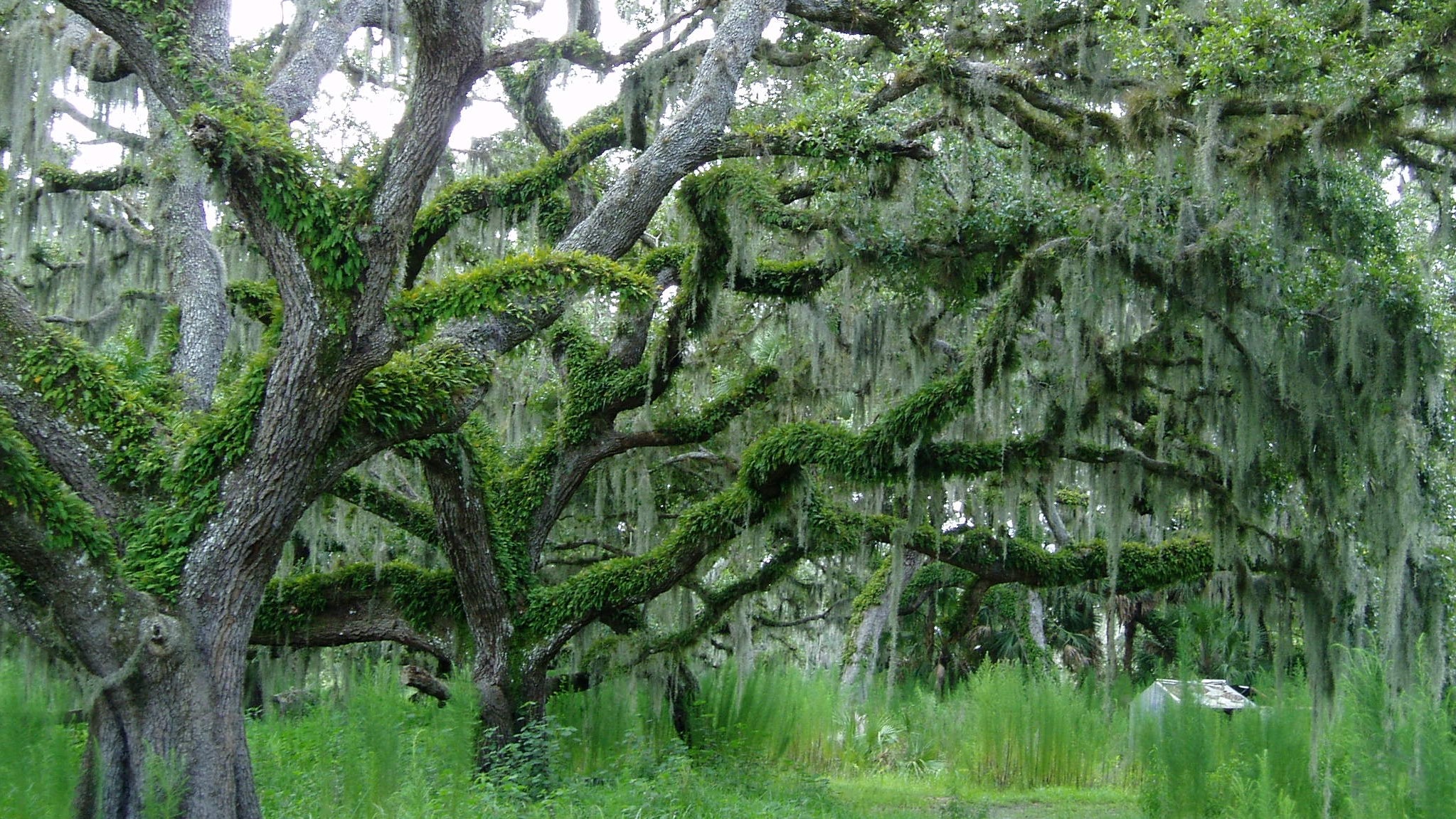
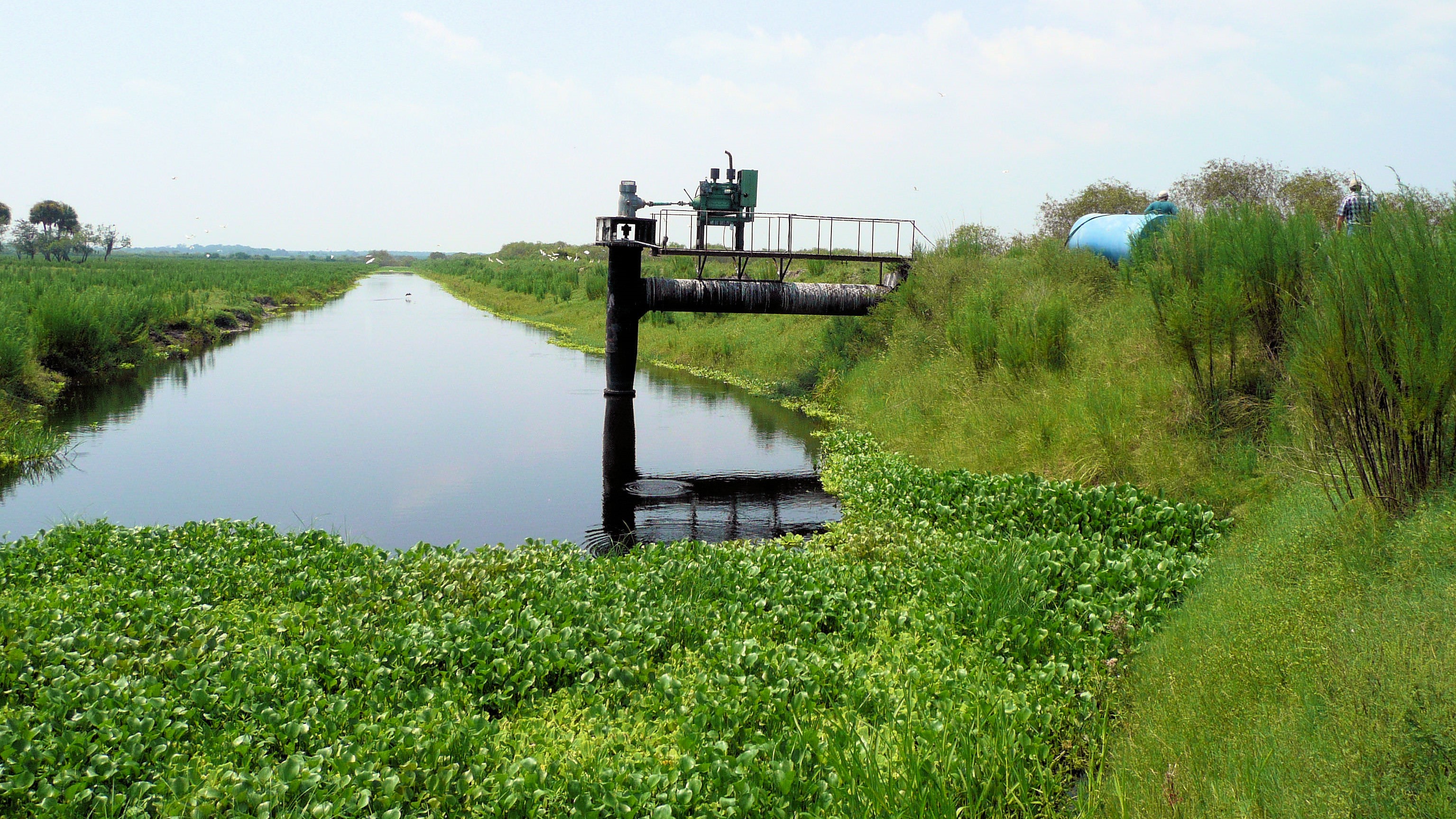
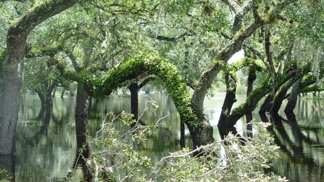
An important element of the Initiative was the hydrologic restoration of Flatford Swamp, a 4.5 sq. mile area of the watershed that had experienced significant environmental damage resulting from abnormal and prolonged dry-season inundation in areas that historically were flooded only seasonally. The project involved the development of a water budget model for the purposes of evaluating impacts to the area, linkages between land use and hydrologic alterations, quantities and timing of excess flows, and the wetland hydroperiod response to potential restoration design alternatives. Using this information, SAI developed conceptual designs to remove the excess water and restore the historic hydroperiod in the swamp. The selected design included three diversion areas equipped with large pump stations and over 20 miles of transmission piping. In addition to the restoration of Flatford Swamp, SAI also developed and evaluated a series of conceptual restoration BMPs along the main stem of the Myakka River.